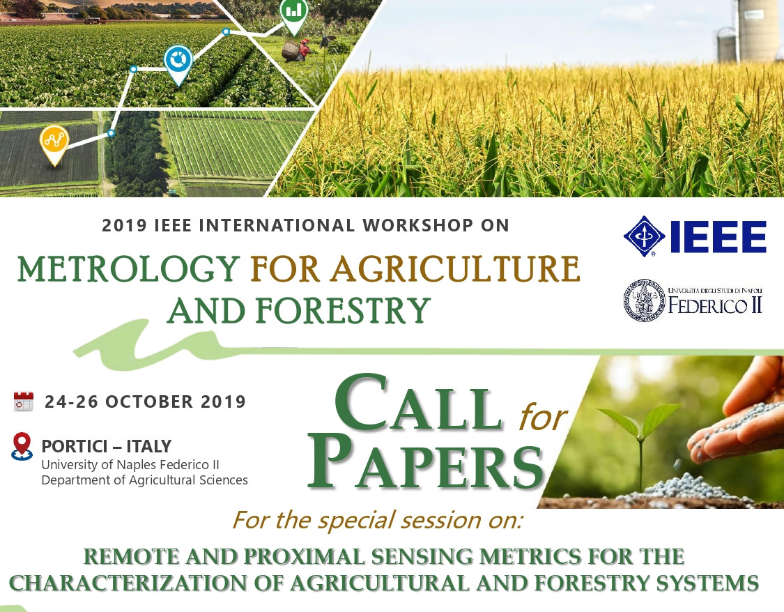
Remote and proximal sensing metrics for the characterization of agricultural and forestry systems
ORGANIZED BY
Francesco Vuolo
University of Natural Resources and Life Sciences (BOKU), Austria
Edoardo Pasolli
University of Naples "Federico II", Italy
Mario Minacapilli
University of Palermo, Italy

Guido D’Urso
University of Naples "Federico II", Italy
ABSTRACT
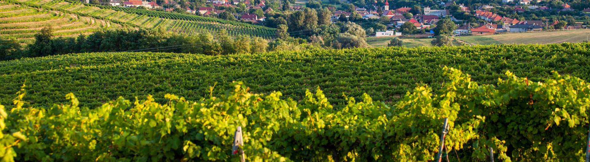
Remote and proximal sensing techniques are representing an extremely valuable sources of quantitative data for monitoring the most relevant land surface processes, in particular those related to agricultural and forestry systems. This includes the derivation of surface properties of vegetation and soil at various scales of observation, which determine the interaction with electromagnetic radiation. During recent years there has been much progress in understanding land surface-atmosphere processes and their parameterisation in the management of land and water resources. Earth Observations techniques in different regions of the electromagnetic spectrum have been used for about four decades to monitor land surface. Nowadays, the improved technological capability of remote and proximal sensors and platforms, i.e. Copernicus, unmanned aerial vehicles (UAVs) and in-situ spectrometers, together with Big Data analysis provide the opportunity for new observational and modelling perspectives.
Efforts are needed to support the management of agricultural and forestry systems with information and data derived from innovative remote sensing technologies.
This session aims at presenting the innovation of in the fields of acquisition, elaboration and analysis of remote and proximal sensing data for providing quantitative information (“metrics”) in support to the management of land and water resources in agro-forestry, with a focus on Earth Observation platforms of the European Space Agency Copernicus constellation and to the integration with in situ observations.
TOPICS
We welcome contributions that:
- soil and vegetation mapping and characterization;
- water resource management in agricultural and forestry;
- canopy and leaf optical models;
- spatio-temporal analysis of time series of agricultural and forestry parameters;
- remote and proximal data assimilation in agro-hydrological models;
- crop yield modelling;
- forestry dynamics and carbon cycle;
- reflectance properties of soils;
- ecosystem and ecological management;
- precision farming and forestry applications;
- remote sensing and ITCs, cloud computing.
ABOUT THE CONVENERS
Francesco Vuolo, Ph.D. in management of agricultural resources and forests. Senior scientist at the University of Natural Resources and Life Sciences, Vienna (BOKU), Austria. Interests in application-oriented research in the field of Earth observation, geo-spatial technologies and agriculture with focus on field to regional/national scales
Dr. Edoardo Pasolli, PhD in Information and Communication Technology. Assistant professor at the University of Naples Federico II, Dept. of Agricultural Sciences. Guest editor for the special issue "Advanced machine learning approaches for hyperspectral data analysis" in MDPI Remote Sensing.
Main research interests aim at developing machine learning and data science methodologies for complex ecosystems including the processing of remote sensing data for land cover mapping and biophysical parameter estimation.
Dr. Mario Minacapilli, PhD in Hydronomy at the University of Palermo. Main research focuses on remote sensing techniques in agriculture and water management. He collaborated to numerous national and international projects concerning agro-hydrological modeling, soil and biophysical parameters estimation at field and regional scale, energy-balance, evapotranspiration.
Prof. Guido D’Urso, PhD, Full Prof., Water Management and Remote Sensing. Hydraulic Engineering graduate, he has a PhD in Environmental Sciences from the Agricultural University of Wageningen, the Netherlands. He has been working since early ‘90s on the development of new methodologies for the interpretation of Earth Observation data for studying water management in agriculture and for spatial analysis of hydrological processes. He has participated to several international research projects in the field of remote sensing for water management, as documented by more than 120 publications on scientific journal, congress proceedings and specialized books. Chair of the Working Group on “Earth Observation for Land and Water Engineering” of the International Commission of Agricultural Engineers.